ADF combines powerful technology with a dedicated staff and strict quality control to create the highest quality data. ADF's GIS & data collection services include questionnaire development, field surveys, data visualization, administration, and spatial analysis.
GIS & Data Collection Services
-

Drone Orthoimagery & Photogrammetry
We capture aerial photography using a fleet of DJI Phantom 4 Advances and Pros with 2-4 cm resolution. You get far more detail than high-resolution satellite images which at their very best can offer 30-50 cm resolution. ADF has been among the most prolific producers of orthophotography in Haiti in recent years. Our high-precision aerial photogrammetry services are offered at highly competitive prices with accurate and cost-effective data collection for planning.
-

High Accuracy Mapping
Using the survey-grade Arrow Gold RTK GNSS Receiver and the Atlas GNSS Global Correction Service we can gather GPS data with accuracy as low as 5 centimeters. With our mapping service, you can easily and confidently know the location of your assets and measure every square foot of parcels.
-

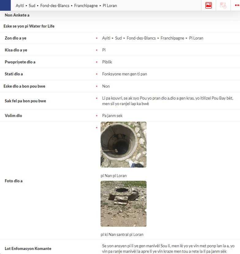
Data Collection
Data is essential for making effective decisions. ADF offers a variety of data collection services, either in the field in Haiti, or remotely. We can help in creating a questionnaire, a data collection tool, as well as with data collection and sharing after the data is collected.
